Black Diamond Mines

--
SHARES
  
AVERAGE RATING
**
2.38 out of 5
View Topo Map

Intermediate
17
miles

Fire Road
↑ 1,400 ft
↓ 1,300 ft
197
elevation (ft)

Network
Trail Description
About this trail
Steep fire road, 17.21 miles if you do every trail. open area with some oak trees. Old mines to check out. Not good in the wet, just gooopy. Good for one gearif you don't mind jogging some.
added by Juan_GearSingletrack
Trail Features
Trail features
  • Lift Service
  • Drinking Water
  •   Night Riding
  • Pump Track
  • Restrooms
  • Winter Fat Biking
Directions to Trailhead
Get Directions
loading...
Create a free Singletracks account to get directions to this trail.

Trail Q&A
Rider Questions
 
Please login or create an account to ask a question.
Recommended Trails
Recommended Trails
Crockett Hills Regional Park
Local Info & Nearby Trails
Trail Check-ins
Trail Check-ins
what's this?
Recent Trail Check-ins     (21 total check-ins)
  onefastfattie   on Feb 4, 2017
  onefastfattie   on Jan 30, 2017
  onefastfattie   on Aug 10, 2016
  onefastfattie   on Jul 10, 2016
  onefastfattie   on Jul 8, 2016
Photo & Video Gallery (19)
Trail Photos & Videos (19)
 
Reviews (7)
 

Gramcounter

August 16, 2014
Twiddles Gramcounter  
 
Review: Went by here on the way home. Nothing but fire road and posted no bikes on single track. In fact no bikes on roads smaller than 8 feet shoulder to shoulder. Don't bother. BTW Lime Ridge is same, videos of riders there are on illegal trails. Lime Ridge is close by.

Similar Trail: Lime Ridge

ReplyWas this helpful? Yes | No


Granny Gear

June 25, 2014
 
Review: Really can't think of a reason to ride this place unless you live close by and don't want to drive. Steep, boring fire roads and it bakes in the sumer...nuff said.

ReplyWas this helpful? Yes | No


Granny Gear

September 19, 2011
2691knuj Granny Gear  
 
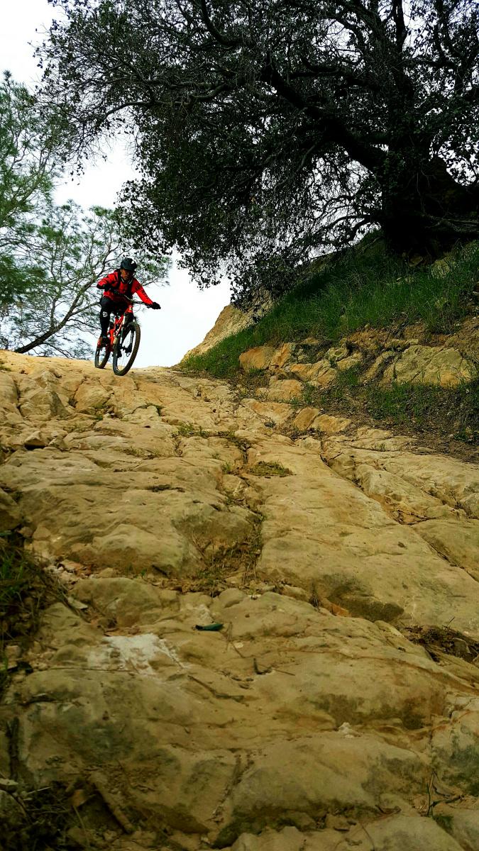
Review: The trails here are all fire trails. It is the second hardest trail after Mitchel Canyon/North Ridge around Diablo mountain, in the Antioch/Walnut Creek areas. None of the trails are technical, but the hills are steep, sandy and loose soils. Because of this, I have marked this as extremely difficult. If you dare to go up the North Ridge, you will go up the steep hill continuously for about 3 miles to the very top. Guarantee that you will have an aerobic workout. If you want to train for endurance this is the place.

Similar Trail: Mitchel canyon via north ridge in mtn diablo.

ReplyWas this helpful? Yes | No


Granny Gear


October 30, 2015
 
Review: HOT, dry, bumpy, miserable and close to my heart. I grew up here, and I still take my kids hiking here. Tried to take them riding here but it was much too difficult for them. I now Ride the entry road for training as often as I can since I live near by. The stuartville trail is a real a$$ kicker.

Was this helpful? Yes | No


Granny Gear

September 21, 2010
RobertReed Granny Gear  
 
Review: Rode this trail this wkend. I'd HAVE to say, S***ED. Nothing but fire trails that are endlessly uphill, then down into canyons. Everywhere you turned to look, the signs said NO BIKES. WWon't go there again.

ReplyWas this helpful? Yes | No


Granny Gear

August 19, 2010
awinter Granny Gear  
 
Review: If you attempt this trail, bring plenty of water. Once you drop down into the canyon, you have no wind and hight temps. Its stifling and you will sweat a lot.

* Review edited 8/19/2010

ReplyWas this helpful? Yes | No


Trailblazer

August 11, 2007
 
Review: not a fan i agree avoid with it being wet did it last year super sandy in early 06 dont want to know what its like this year with the drought colorado is nicer haha

ReplyWas this helpful? Yes | No


Singletrack


June 21, 2005
Juan_Gear Singletrack  
 
Review: Forgot to say you can link with Mount Diablo if you are hard core. thats what the skiney mutants tell me

Similar Trail: Morgan Territory

ReplyWas this helpful? Yes | No


Black Diamond Mines MTB Trail 2.38 out of 5 based on 7 ratings. 7 user reviews.
Trail Conditions
Trail Conditions          < / > embed
Loading...